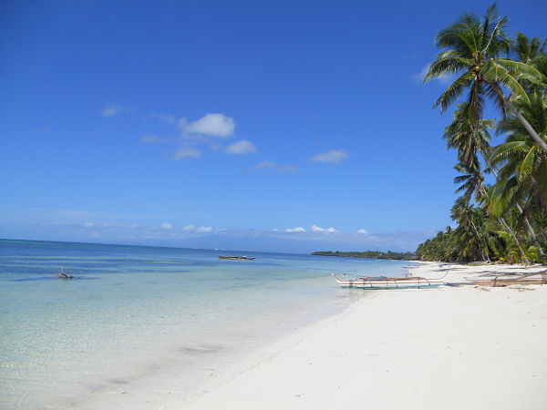
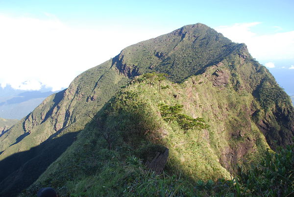
Volcanic eruptions are both a spectacle and a terrifying sight to behold (being in the shadow of Mount Kanla-on and having seen it throw tantrums thrice), a reminder that beneath the placid surface we call earth lies a heaving, gurgling river of molten iron that could wipe out everything we know (including us) and literally change the face of Earth overnight.
But viewed from space, eruptions – like the May 7, 2013 phreatic eruption of the Philippines’ Mount Mayon – seem detached from everyday human activity and appear to be more of an indication that Earth is still a work in progress. Here are some spectacular views of volcanoes showing signs of internal unrest and giving birth to new islands as viewed from satellites of the National Aeronautics and Space Administration (NASA).
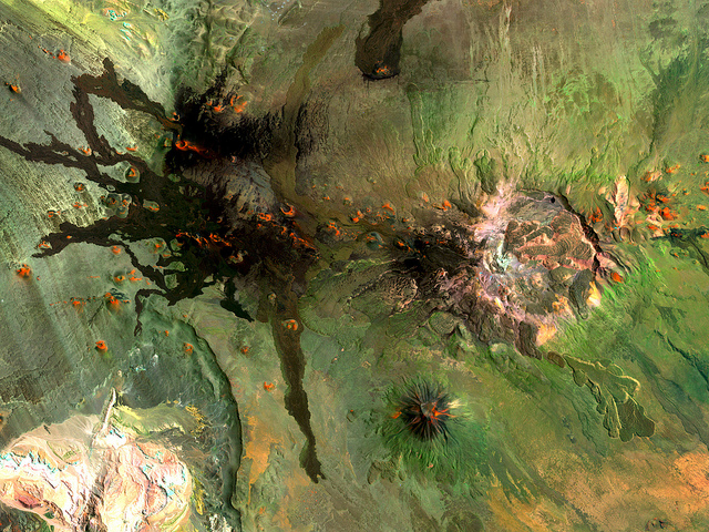
Eruptions are not only caused by tectonic plates grinding against each other, they can also be caused by plates pulling away from each other, as in the case of this island-forming eruption in Red Sea that resulted from the Arabian plate and African plate drifting away from each other.
Mount Sarychev in the Kuril Islands northeast of Japan sent a plume of ash on June 12, 2009, big enough to be clearly captured by the roving International Space Station and significant enough to disrupt air traffic between East Asia and North America.
The Canary Islands are of volcanic origin. An underwater volcano spews ejecta which will eventually become an island like El Hierro, the smallest island of the “Canarias.” El Hierro emerged from the ocean some 1.2 million years ago, and the same Surtseyan eruption that gave birth to it is still happening today, as in the case of this October 10, 2011 eruption off its coast, indicated by a change of color of the sea.
A Strombolian eruption is characterized by low-level but continuous ejection of incandescent cinder and lava bombs, with low volume of volcanic ash thrown in the mix. This kind of eruption is named after Mount Stromboli in the island of the same name off the coast of Sicily, Italy. This hyperactive volcano has been spewing glowing ejecta for the last 2,000 years and shows no signs of quitting anytime soon if its January 2011 eruption is any indication.
Strombolian eruptions are often intense and unpredictable. Eruptions of Mount Etna are one such perfect example, the volcano being the most tempestuous in Europe. Its most recent eruption was in April 27, 2013, its 13th this year.
Iceland sits smack dab in the middle of two grinding continental plates: the North American plate and the Eurasian plate. As a result, it is an island country ready to blow up any minute. (Iceland was formed by the same eruptive forces.) On the plus side, a thermal column that sits about 20 kilometers down make for pleasant hot springs that soothe aching muscles. On the not-so-pleasant side, volcanoes that were thought to be dormant could reawaken anytime, as was the case of Mount Eyjafjallajokull in Southern Iceland (last eruption in 1821) which erupted on March 21, 2010 and caused hundreds of people to evacuate.
The Cerro Payun Matru of Southern Andes in Argentina sits about 530 kilometers away from the Nazca plate. The subduction action of this plate against the South American plate (one plate grinding under the other) formed the Andean range and created volcanic hotspots within 1,000 kilometers north to south. One such massive hotspot, Payun Matru, is classified as a shield volcano, formed mainly of fluid lava flows (often oozing from fissures around the crater) which give it a rather flat appearance like that of a warrior’s shield.